[ Our Services ]

AZ NavTeq provides a diverse array of geospatial consulting services

 SURVEYING AND MAPPING

SURVEYING AND MAPPING

Accurate geospatial surveying and photogrammetry services delivering precise topographic, engineering, and mapping solutions.
 GIS AND ASSET MANAGEMENT

GIS AND ASSET MANAGEMENT

Interactive GIS mapping for real-time asset tracking, urban planning, and intelligent data-driven decision-making.
 DRONE BASED INSPECTION

DRONE BASED INSPECTION

High-efficiency drone inspections for remote monitoring, mapping, and surveying with faster, accurate, low-cost results.
 STOCKPILE VOLUME

STOCKPILE VOLUME

Fast, safe, and precise drone surveys for accurate stockpile volume measurement and site management.
 HI-RES SATELLITE IMAGERY

HI-RES SATELLITE IMAGERY

High-resolution satellite imagery and remote sensing data delivering detailed geospatial insights for any application.
 MARINE ENGG & SURVEYS

MARINE ENGG & SURVEYS

Comprehensive marine engineering and hydrographic survey solutions ensuring accurate underwater mapping and project reliability.
100+ Successful Projects
Customers are Satisfied with our Services.
0 %
[ FAQ ]

Frequently Asked Questions

Have questions about our services? Find quick answers in our AZ NavTeq FAQ section.

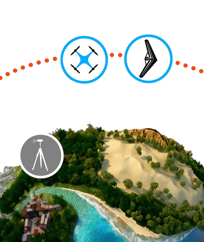
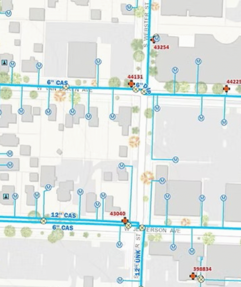
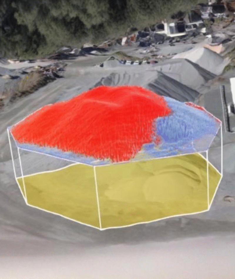
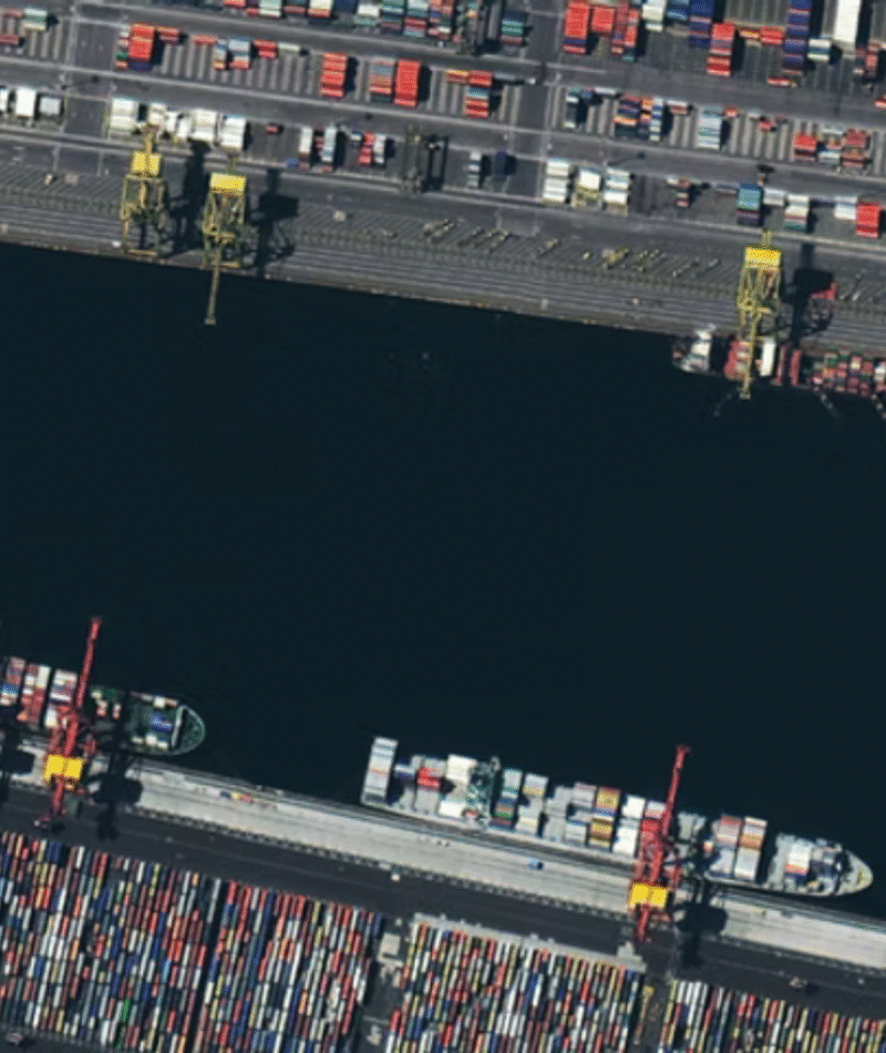
Our services cater to construction, infrastructure, energy, mining, real estate, and environmental sectors – any industry requiring accurate mapping and data-driven insights.

Imagine reaching deep inside you for all the strength and wisdom that you need to make this decision today. As you do so, imagine that when you choose to make that decision that deep inside your mind you are switching off the alternative path.

Simply reach out through our contact form or email us your project details. Our experts will provide a free consultation and customized service plan.