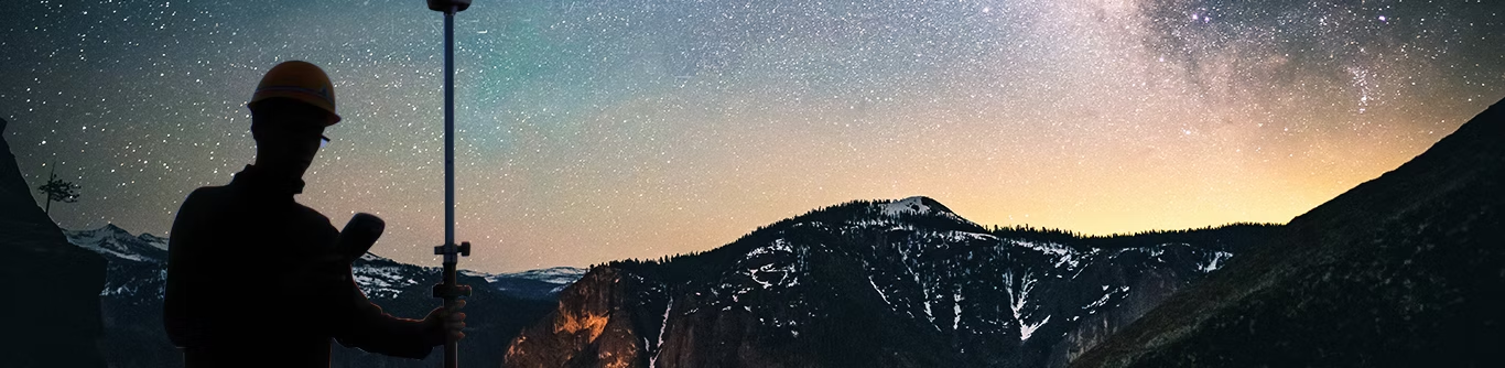


Surveying & Mapping
We specialize in delivering a wide array of surveying and mapping services tailored to the needs of industries such as construction, agriculture, public utilities, transportation, aviation, environmental management, and more. With a focus on precision and efficiency, our solutions integrate the latest advancements in photogrammetry, GIS, and remote sensing, providing you with the accurate geospatial data needed for informed decision-making.
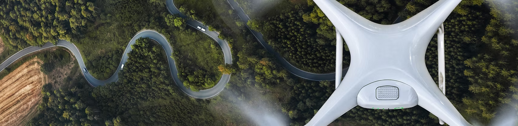
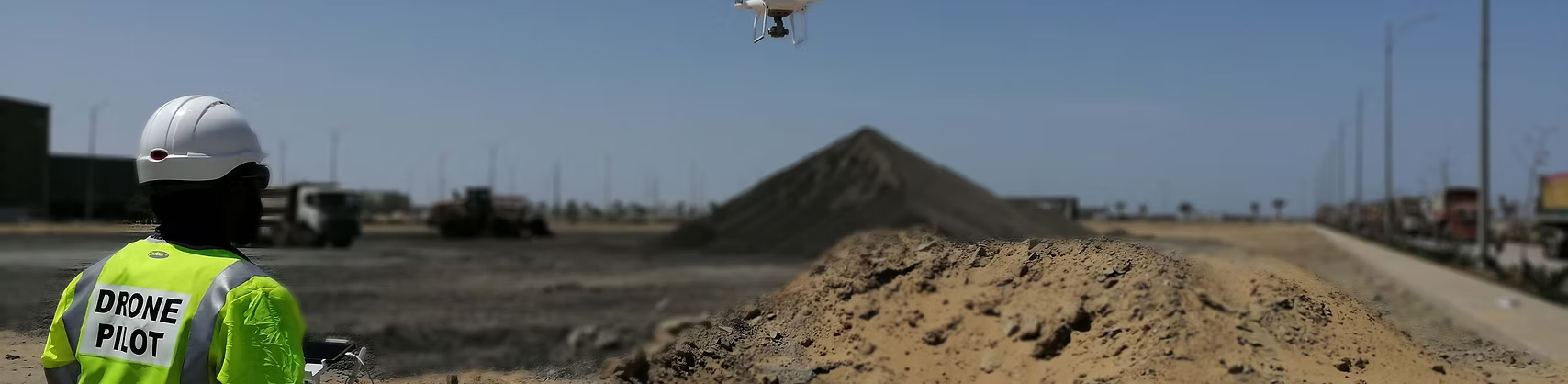
- Drone based Surveying
- 3D Modeling
- 3D Modeling
- Topographic Surveys
We do things differently
At AZNavTeq, we redefine how surveying and mapping are done. Instead of relying on outdated, manual methods, we combine drone-based photogrammetry, GNSS precision, and advanced GIS analytics to deliver faster, more accurate, and cost-effective results. Every project we undertake is guided by a commitment to data integrity, innovation, and efficiency — ensuring that our clients receive insights, not just information. Whether it’s a construction site, industrial zone, or large-scale land development, we transform complex terrains into high-resolution, actionable maps with unmatched accuracy and detail.

- Drone-Based Surveying
- Topographic & As-Built Surveys
- GNSS & RTK Precision Mapping
- 3D Modeling & Point Cloud Generation
- Orthomosaic & Contour Mapping
- Fast Data Processing & Reporting
Frequently Asked Questions
We provide a wide range of surveying services including topographic, as-built, cadastral, boundary, and drone-based surveys tailored to each project’s requirments.
Using advanced GNSS, RTK, and drone photogrammetry technologies, our surveys deliver accuracy within centimeters while maintaining ASPRS standards, ensuring precise and reliable data for design and planning.
Our surveying and mapping solutions serve industries such as construction, real estate, energy, mining, urban planning, and infrastructure development.
You can get started by contacting our team through our website or email with your project details, and weâll provide a tailored quote and workflow plan.