Get the oars in the water and start rowing. Execution is the single biggest factor in achievement so the faster and better your execution.
Contact Details
info@aznavteq.com
+92-21-34810022
Karachi, Pakistan
Search here...
Advanced Geospatial and Mapping Services
AZ NavTeq is a leading GIS and mapping company in Pakistan offering geospatial solutions, drone-based surveying and mapping, GIS and asset management, remote sensing and analysis, 3D modeling, marine and land surveys, and climate-change mapping to support smarter, data-driven decisions.
AZ NavTeq provides a diverse array of geospatial consulting services backed by extensive experience in managing large-scale projects across various industries, including Construction, Climate Change, Agriculture, Marine, and Utilities.
SURVEYING AND MAPPING
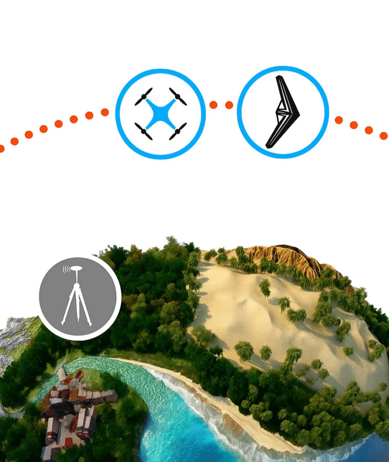
Accurate geospatial surveying and photogrammetry services delivering precise topographic, engineering, and mapping solutions.
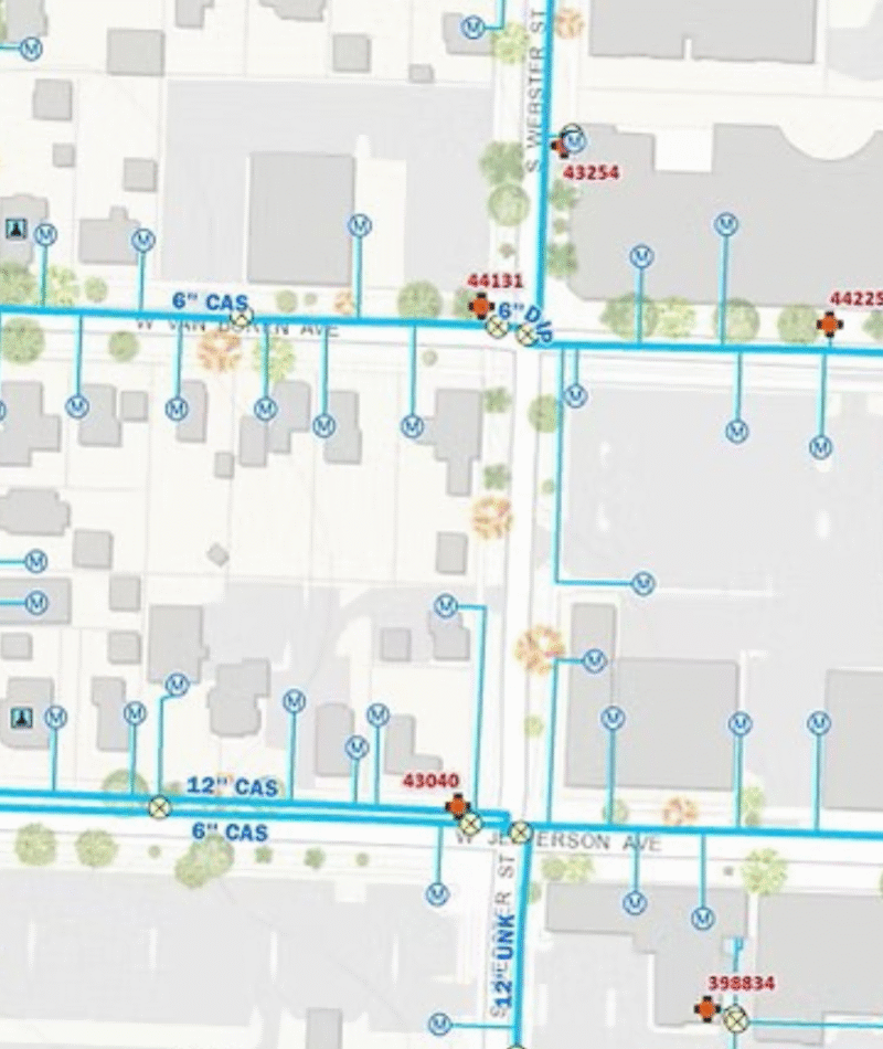
GIS AND ASSET MANAGEMENT
Interactive GIS mapping for real-time asset tracking, urban planning, and intelligent data-driven decision-making.
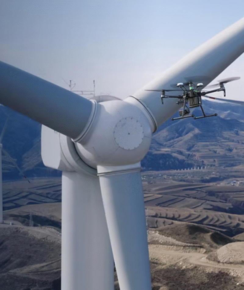
DRONE BASED INSPECTION
High-efficiency drone inspections for remote monitoring, mapping, and surveying with faster, accurate, low-cost results.
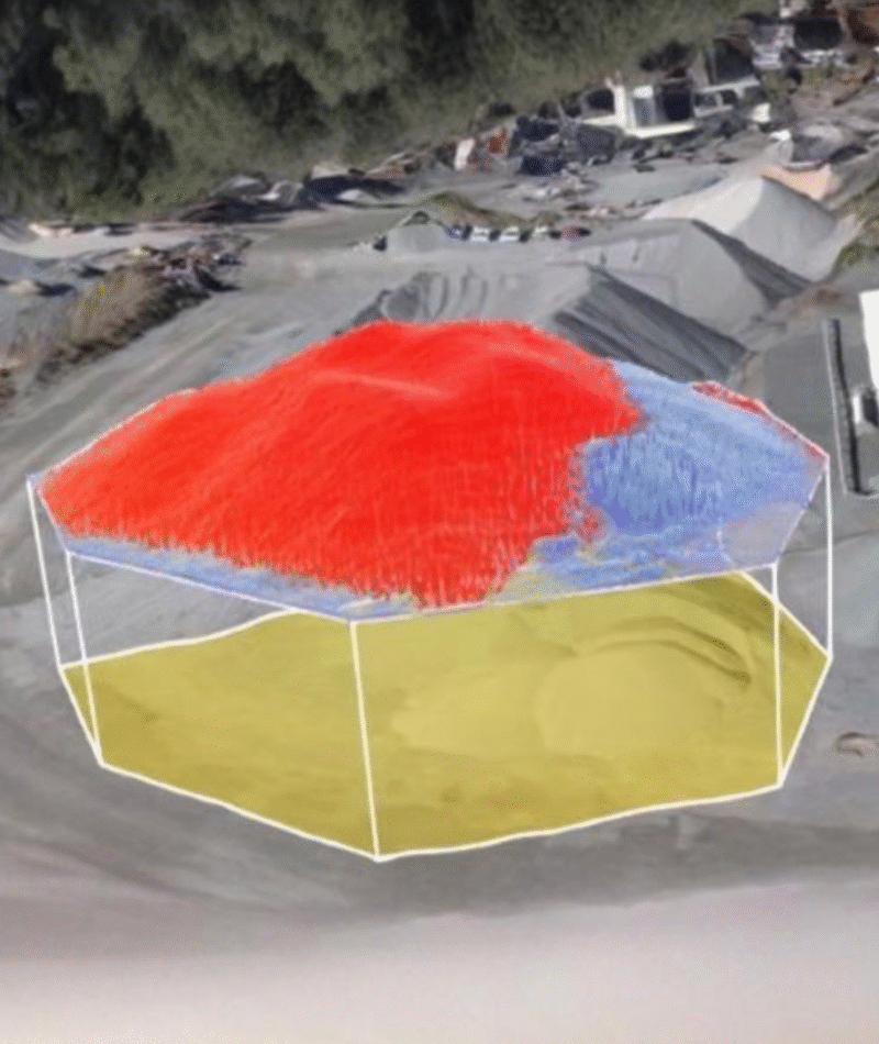
STOCKPILE VOLUME
Fast, safe, and precise drone surveys for accurate stockpile volume measurement and site management.
HI-RES SATELLITE IMAGERY
High-resolution satellite imagery and remote sensing data delivering detailed geospatial insights for any application.
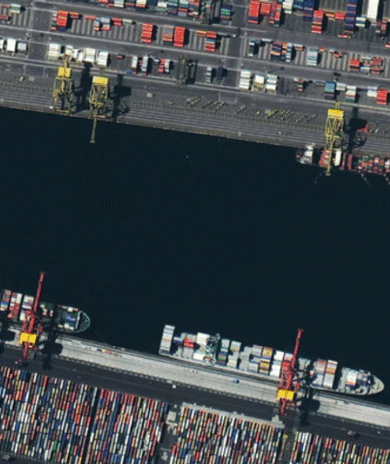
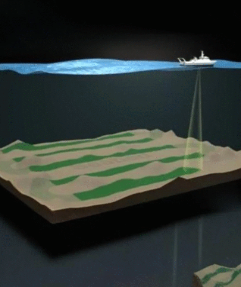
MARINE ENGG & SURVEYS
Comprehensive marine engineering and hydrographic survey solutions ensuring accurate underwater mapping and project reliability.
Years Of Experiance
0+
Acers Mapped
0k+
Projects
0+
Industries Associated
0+
We Turn World into Data
At AZ NavTeq, we combine technology and expertise to reveal new perspectives of the Earth — helping you make smarter, data-driven decisions.
[ Get in Touch ]
Have questions?
Talk To Our Experts
Consultation At No Cost
Get trusted insights from AZ NavTeq professionals on geospatial, drone, and mapping services — book your free expert consultation.
Call Center
+92-21-34810022
Our Location
Karachi, Pakistan
Email
info@aznavteq.com
Social network
How May We Help You!
Please fill out the form below with your details and message, and our team will get back to you as soon as possible.
[ FAQ ]
Frequently Asked Questions
Have questions about our geospatial or drone services? Find quick answers in our AZ NavTeq FAQ section.
AZ NavTeq offers a wide range of geospatial solutions, including drone-based surveying, GIS & asset management, 3D modeling, marine engineering surveys, and high-resolution satellite imagery.
02. Does AZ NavTeq provide free consultations?
Yes. We offer free consultations to help clients understand the best geospatial or surveying solution for their project before committing.
03. What is the advantage of using drones for surveying?
Drone-based surveying saves time, reduces costs, and captures high-resolution data over large areas – ideal for topographic, volumetric, and infrastructure mapping.
04. How does AZ NavTeq ensure data accuracy and reliability?
All data collected by AZ NavTeq undergoes quality control, ground verification, and advanced processing using trusted software like Agisoft Metashape and GIS platforms.
05. How can I get started with AZ NavTeq?
Simply contact us through our website form or reach out directly. Our experts will review your project details and provide a no-cost consultation to get you started.